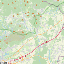
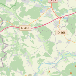
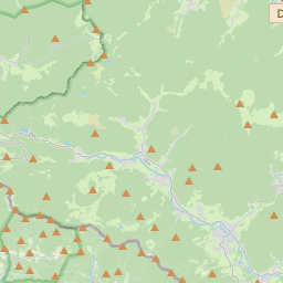
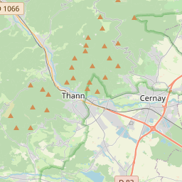
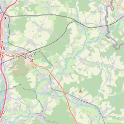
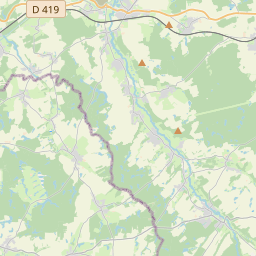
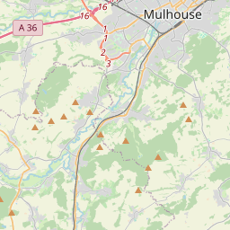
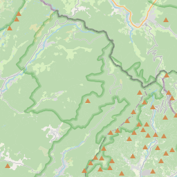
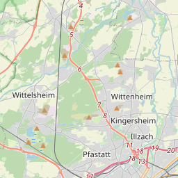
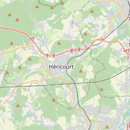
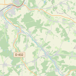
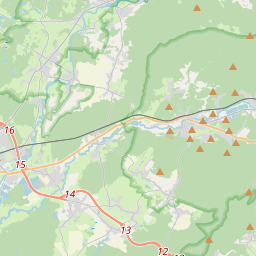
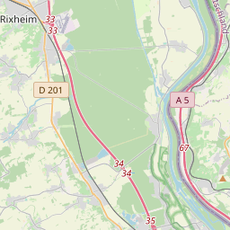
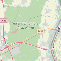
Guide – Étape 0 : Thann – Bellemagny +− Open Street Map Avec courbes de niveau Vue satelliteWaymark | © OpenStreetMap contributors x01234567891011121314151617181920km360380400420440mAltitudeTotal Length: 20.65 kmMax. Elevation: 449.10 mMin. Elevation: 342.20 mTotal Ascent: 326 mTotal Descent: 309 m Collection Section Thann - St-Jean-de-Losne ? Export GPX KML GeoJSON