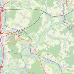
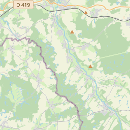
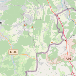
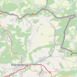
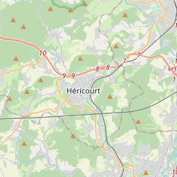
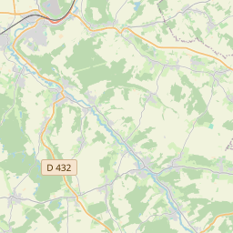
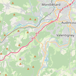
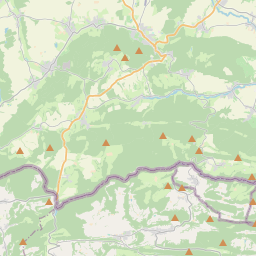
Guide – Étape 3b : Réchésy – Fesches-le-Châtel +− Open Street Map Avec courbes de niveau Vue satelliteWaymark | © OpenStreetMap contributors x012345678910111213141516171819km340360380400mAltitudeTotal Length: 19.47 kmMax. Elevation: 414.00 mMin. Elevation: 321.10 mTotal Ascent: 320 mTotal Descent: 321 m Collection Bretelle de Bâle ? Export GPX KML GeoJSON